ERI SkyCam | Aerial Photography | Aerial Filming
  • Home
  • About Us
    • Aerial Photography Blog
    • Charles Malveaux
    • Photo Gallery and Crew
  • Demo Reel
    • LSU Construction Survey
    • UAV Aerial Survey
  • Get a Quote
  • In the Press
  • Contact
  • Donate

A Little More About Us

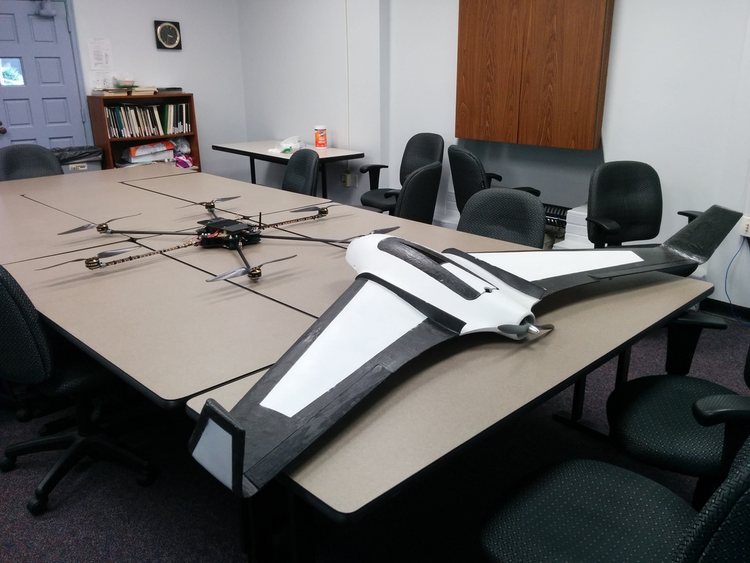
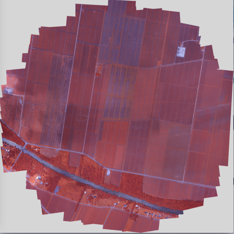
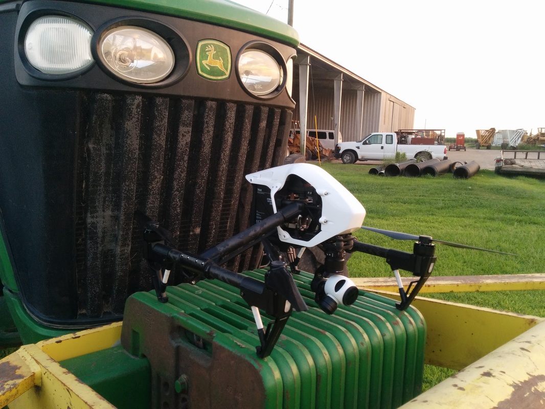
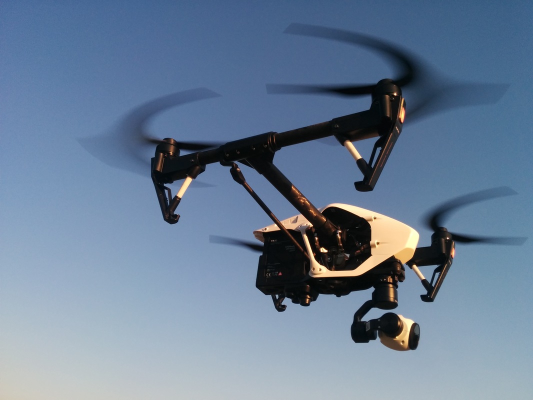
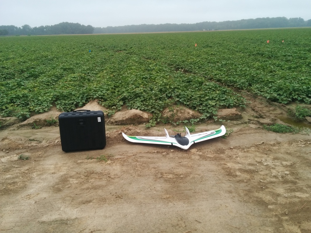
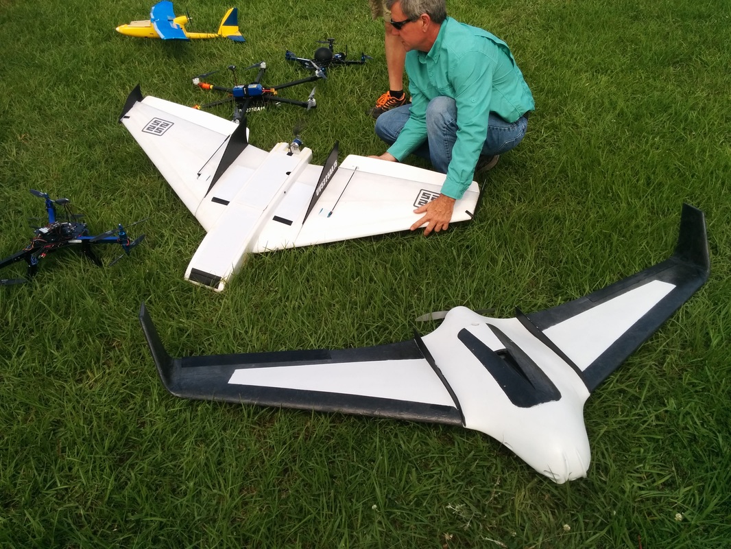
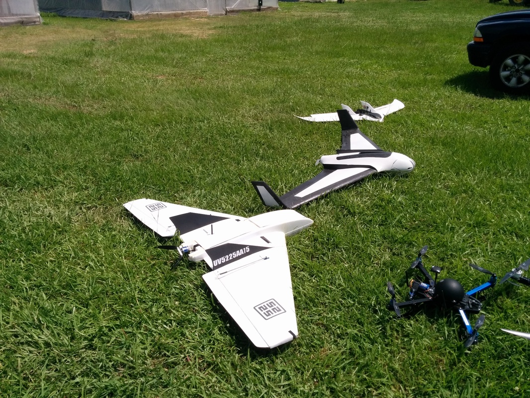
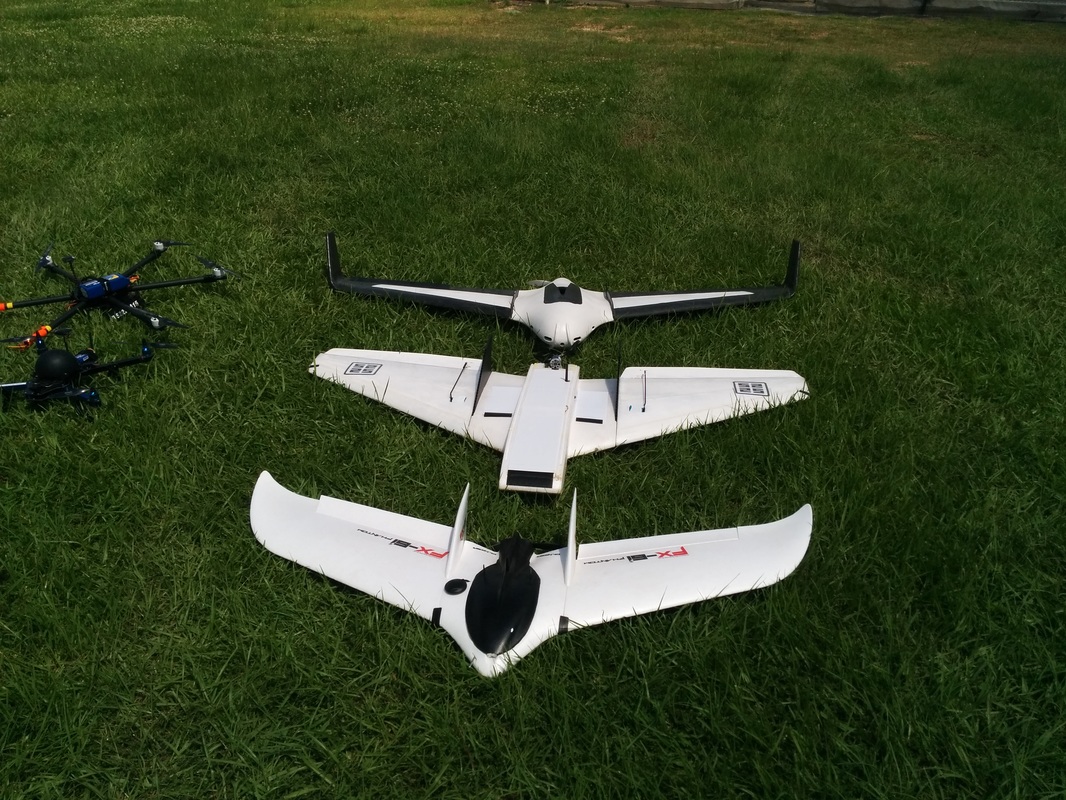
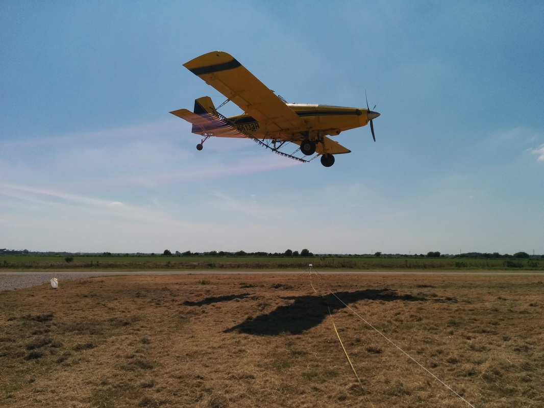
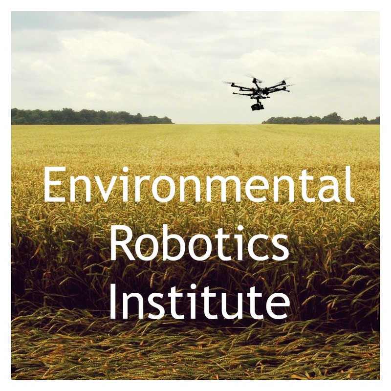
UAV's commonly referred to as drones can be equipped with various sensor and professional camera systems. These aerial sensor platforms are well suited for various tasks from professional aerial cinematography to agricultural and environmental remote sensing. Drones are able to safely survey large areas of land. The use of these UAV Systems can provide real time imagery and sensor data from farm field areas which cannot be quickly accessed on foot or by vehicle. For our customers in the motion picture industry our systems can offer DP's unprecedented artistic control and aerial shots of unmatched quality and artistic meaning. With our systems and professional crews of FAA licensed pilots we can take your movie making, site inspections, or farm land management to new heights.

Meet Our CEO

Ample Aerial Cinematography Experience

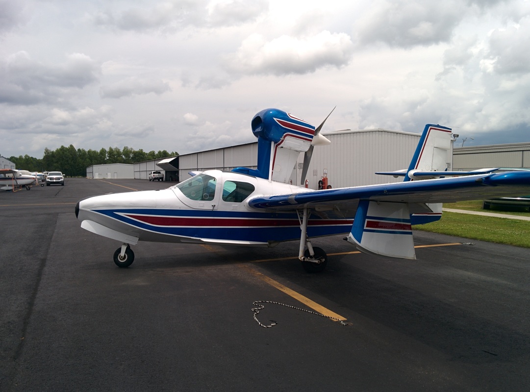
FAA Licensed Pilot of Full Size Aircraft

Over 10 years of UAV Operation and Design Experience

Engineering Expertise

Crew Photo Gallery

Picture
Thank you for coming by ERI and we look forward to working with you. If you have any questions, or would like to get a quote, please don't hesitate to call us at (470) 223-8788 or fill out the form on our contact page. Thanks again!
9312 Pecan Tree Dr, Baton Rouge, LA 70810
Get A Quote
© 2015 Environmental Robotics Institute, LLC. ERI Aerial Filming and Aerial Photography All Rights Reserved.

Aerial Photography, Aerial Filming, Aerial Cinema, Aerial Videos

  • Home
  • About Us
    • Aerial Photography Blog
    • Charles Malveaux
    • Photo Gallery and Crew
  • Demo Reel
    • LSU Construction Survey
    • UAV Aerial Survey
  • Get a Quote
  • In the Press
  • Contact
  • Donate