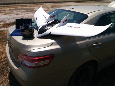
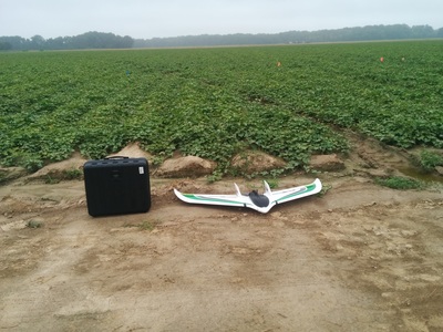
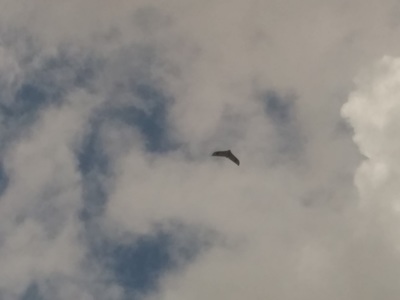
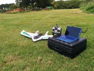
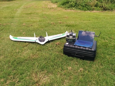
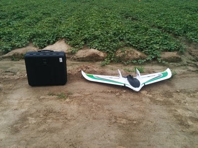
Field Images of the ERI Ag Scout UAV The ERI AgScout UAV can fly 1000 acres of farm field in under 2 hours. The ERI AgScout system, pictured here at work, is one of the best in the UAV industry and it has been used to scan numerous farm fields. Fully automated it is simply tossed into the air and flies itself using its custom NDVI camera system to autonomously scan farm fields while our licensed crews maintain line of sight and complete airspace safety. Contact ERI for more information and to schedule a precision aerial crop scan with our licensed professional crews and aerial mapping specialists today.
Let ERI and our AgScout UAS professionals make your work easier by reducing thousands of acres into the precise areas of your farm that need your attention with our precision aerial NDVI mapping and aerial crop scouting services at very affordable per acre pricing. Go to our "Get a Quote" page and request a professional sight visit and whole farm aerial crop scouting quote today. thank you, Charles Malveaux, Director ERI AgScout UAS to order services call ERI at 470-223-8788
0 Comments
|
|
Thank you for coming by ERI and we look forward to working with you. If you have any questions, or would like to get a quote, please don't hesitate to call us at (470) 223-8788 or fill out the form on our contact page. Thanks again!
9312 Pecan Tree Dr, Baton Rouge, LA 70810 |
© 2015 Environmental Robotics Institute, LLC. ERI Aerial Filming and Aerial Photography All Rights Reserved.
 RSS Feed
