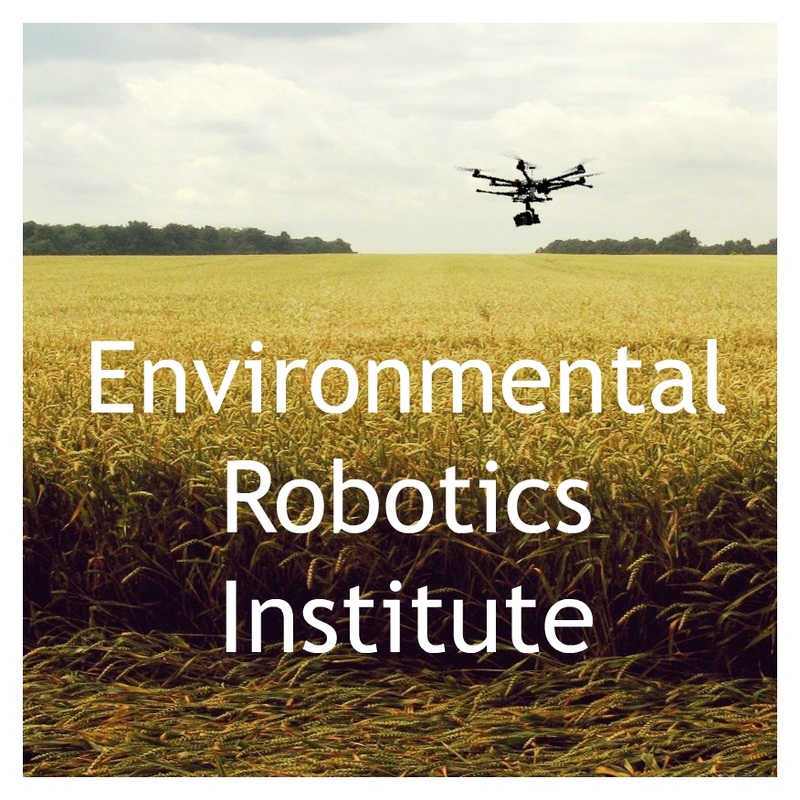
ERI SkyCam | Aerial Photography | Aerial Filming
  • Home
  • About Us
    • Aerial Photography Blog
    • Charles Malveaux
    • Photo Gallery and Crew
  • Demo Reel
    • LSU Construction Survey
    • UAV Aerial Survey
  • Get a Quote
  • In the Press
  • Contact
  • Donate

ERI Aerial SkyCam

Aerial Cinematography | Aerial Photography | Aerial Site Inspections | Precision Agriculture 
Nationwide Service. Based in Baton Rouge, Louisiana. Specializing in serving the Gulf Coast Region.  
Our Professional Crews are Insured and FAA Licensed Pilots 
Get a Quote

Aerial Photography | Aerial Filming | Aerial Inspections | Precision Agriculture 

E.R.I. specializes in aerial photography , aerial filming, aerial agricultural crop inspection with NDVI, aerial data collection, and remote sensing using UAV systems commonly referred to as drones or unmanned aerial systems. Our robotic aerial systems are ideal for data collection and provide very high resolution imagery. Based in Baton Rouge, La, we offer nationwide services with an emphasis on the Louisiana Gulf Coast where our FAA licensed pilot crews are based.

UAS based Aerial data collection and drone based aerial imagery can be used for many applications: aerial imaging including aerial cinematography, aerial filming of hard to reach areas, aerial photography, aerial construction site monitoring, industrial inspections including flare and stack inspections, roof inspections, aerial offshore inspections, 3D-modelling, precision agriculture, precision aerial crop scouting, aerial spraying, monitoring traffic, public safety, and a myriad of other applications. E.R.I.'s unmanned aerial systems are among the best in the aerial UAV industry.  We use FAA licensed pilot's the service best for all of your aerial filming, aerial photography, and industrial, construction, or commercial site inspection needs. 

ERI's UAV based agricultural crop inspections using normalized difference vegetative index data commonly referred to as NDVI can help growers understand crop health and take a whole farm approach while saving significant time and resources by turning a large land management area into the precise target sectors that need attention based upon aerial surveys. Sugar cane, cotton, rice, corn, soybeans, orchard crops, aquaculture, and livestock farming can all benefit from our aerial monitoring, and enhanced NDVI data services. Our NDVI crop inspections, aerial scanning, and aerial livestock monitoring  can give growers a greatly increased level of knowledge over their fields, crops, and land which elevates precision agriculture to new heights and can greatly increase the efficiency of land management efforts.
E.R.I. was created to form sustainable engineering based solution. We specialize in aerial filming, aerial imagery, and aerial data collection using UAV based robotic systems commonly referred to as drones. Our remote sensing technology is state of the art and our aerial mapping capabilities can provide you with high definition imagery which you can use to track site progress and create moving presentations. In addition, our aerial cinematography capabilities are among the best the industry has to offer.
Read more About us

A Few of Our Clients

Aerial Filming for MTV
Aerial Filming for MTV for Discovery Channel
Aerial Filming for The History Channel
Aerial Filming for Science Magazine
Aerial Filming for Travel Channel
Picture

Our Services

Aerial Photography and Cinematography

We offer aerial filming and photography, flying the Red Epic, GH4, 5D, and other professional camera systems.

Industrial and Construction Site Surveys

We offer hi-definition aerial imagery, 3D modeling and georeferenced aerial mapping all flown by licensed pilots.

Agricultural Survey and Precision Crop Scouting

Our aerial imagery and NDVI image processing allows for precision crop management and whole farm scouting.

In The Press

Aerial Photography on LSU
Aerial Photography on BR Proud
Aerial Photography on The Advocate
Aerial Photography on WWL Channel 4
See More
Picture
Thank you for coming by ERI and we look forward to working with you. If you have any questions, or would like to get a quote, please don't hesitate to call us at (470) 223-8788 or fill out the form on our contact page. Thanks again!
9312 Pecan Tree Dr, Baton Rouge, LA 70810
Get A Quote
© 2015 Environmental Robotics Institute, LLC. ERI Aerial Filming and Aerial Photography All Rights Reserved.

Aerial Photography, Aerial Filming, Aerial Cinema, Aerial Videos

  • Home
  • About Us
    • Aerial Photography Blog
    • Charles Malveaux
    • Photo Gallery and Crew
  • Demo Reel
    • LSU Construction Survey
    • UAV Aerial Survey
  • Get a Quote
  • In the Press
  • Contact
  • Donate